Trail Website:
U.S. Forest Service - Flint Creek Multiple Use Trail
|
2nd Trail Website:
AllTrails.com - Flint Creek White Loop
|
Total Miles: 16 miles - |
Surface Type: Dirt - wider than ATV |
Primary Use: Hiking, Mountain Biking, Equestrian, ATV |
Trail Hours: - |
Trail Connections: near Owl Creek Horse Trail System |
Special Features: |
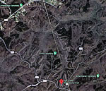
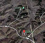
Directions to Trail: I-65 exit 310; North on Hwy 157; from Hwy 157 turn south on Danville Rd (CR 41); 4 miles from Highway 157 there is a left bend in the road with a dirt road going west (Forest Service road 249; also known as Leola Road or Hwy 191); turn onto Leola Rd. At 3.7 miles you will pass Center church (on left); the parking area is 0.8 miles past the church on the the North side of the dirt road. If you see |
Trail Restrictions:
No 4-wheel drive vehicles; ATVs max of 50 inches wide (motorized vehicles); spark arrestors required. |
Latitude: 34.34116827 Longitude: -87.17820883 |
Who’s responsible for Trail? |
Organization:
U.S. Forest Service
|